SITE ANALYSIS
ZONING

CENTRAL WATERFRONT
CITY QUAY & DOCKS
RESIDENTIAL
The Project Site can be divided by purpose and use into three distinct zones. The Central Waterfront (highlighted in blue) sits immediately below the City Centre limits and is the core public space on the water. The City Quay & Docks (highlighted in yellow) is largely commercial, constituting of an outdoor shopping centre, Hotel, and Office Blocks. The Red Zone is predominantly residential, separated into 7 main blocks, with several public points of interest.
WHAT IS ON THE SITE?

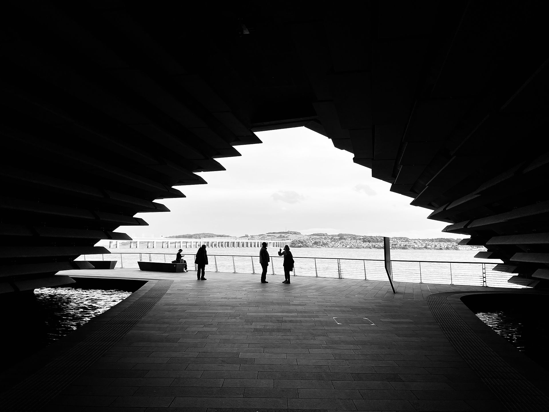
There are several notable attractions and interests for the public on the site, including the renowned V&A Dundee, clustered into 2 main areas around the Train Station and City Quay. This presents an excellent opportunity to capitalize on many of these Points of Interest into future strategies.
ROAD NETWORK


The Tay Road bridge lands directly onto the waterfront and links into the inner and outer ring roads of Dundee; this pushes large amounts of traffic into this area creating the feeling of being in a large roundabout when in Slessor Gardens.
VISUAL BARRIERS & NOISE POLLUTION


Due to the large numbers of vehicles on the roads in this site, there are many traffic systems in place to accomodate this. These traffic lights, signs and junctions create visual barriers and busy sightlines, they make the site difficult to traverse. Noise pollution is also a problem here - there are not many sound barriers between the pedetrains and the cars.
ACCESSIBILITY

There are many street connections to the waterfront from the city centre however it is necessary to cross multiple lanes of traffic in order to make this journey.
PEDESTRIANS & CYCLISTS


While there are pedestrian and cycle links through the site, many of them seem incomplete - coming to dead ends, or taking confusing routes. The surface area is fairly consistent through the more public zones however towards the residential zone the paving changes to concrete.
NATURE & GREEN SPACE

There are pockets of green space within the courtyards of the residential blocks and on the central waterfront, however these are generally just small patches of grass. The rest of the identified green areas are overgrown development plots which have been under maintained.
BUILDING USE

The majority of South Victoria Dock Rd is dedicated to residential buildings with a small area consisting of offices. The nearby area contrasts with primarily public buildings surrounding the central waterfront.
DEMOGRAPHICS - WHO LIVES THERE?

There are an estimated 315 people who lived in the vicinity of South Victoria Dock Rd, most of whom belong to the least deprived of the Dundee population.
FUTURE PROPOSALS AND WORKS ON THE EXPLORED SITE


In our analysis we research several planning proposals and masterplans that aimed to develop our waterfront site. We took these findings to inform our own design decisions.